
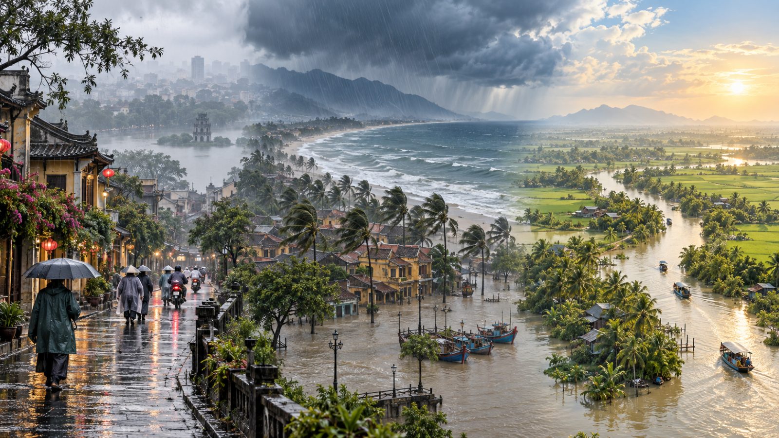

Hoi An’s Old Town streets turn into canals most years between October and November, when the Thu Bon River climbs over its banks and shopkeepers paddle supplies to their own doors. That’s monsoon season doing exactly what it’s known for in central Vietnam, and it’s only one piece of a pattern that shifts by region and month across the whole country.
The north gets its heaviest rain from May to September, the center floods hardest from September to December, and the south settles into a near-daily downpour routine from May through November. None of that means skip the trip. It means picking the right stretch of coastline for the right week.
Monsoon Season in Vietnam: A Region-by-Region Cheat Sheet
Vietnam stretches over 1,600 km (1,000 miles) from north to south, so monsoon season in Vietnam never arrives on one calendar. The north, center, and south each run on separate wet-season clocks, often months apart.
If you ask when is monsoon season in Vietnam, the honest answer is that it depends on which Vietnam you mean. Check the region you’re actually visiting before you pack or book.
| Region | Destinations | Monsoon Months | Heaviest Rain |
|---|---|---|---|
| North | Hanoi, Sapa, Ha Long Bay | May–September | July–August |
| Central | Da Nang, Hoi An, Hue | September–December | October–November |
| South | Ho Chi Minh City, Mekong Delta, Phu Quoc | May–November | June–August |
Notice the center runs almost opposite the other two. In October, the north and south are drying out, while Hue, Da Nang, and Hoi An are heading into their wettest, most flood-prone weeks.
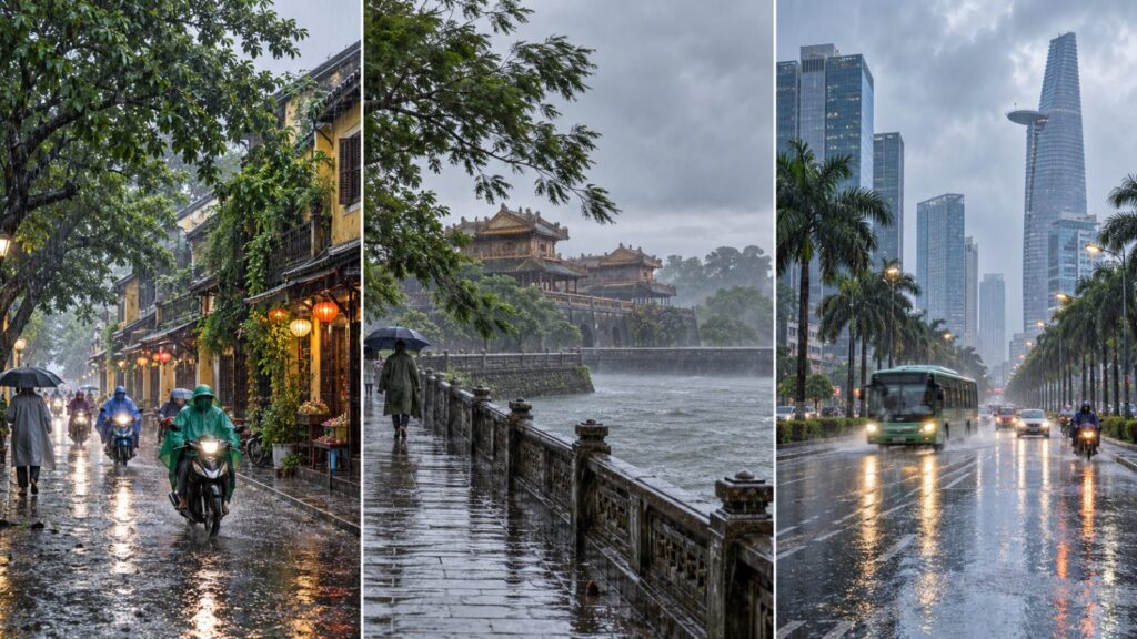
North Vietnam Monsoon Season: Hanoi, Sapa, and Ha Long Bay
The north doesn’t have one single rainy season; it has a long warm, wet stretch. Some sources count the hotter rainy period as running from April all the way to October, with the core monsoon weeks sitting inside that window.
What that means on the ground differs by place. A rain shower in Hanoi behaves nothing like a cloudbank over Sapa’s ridgelines, and a cruise through Ha Long Bay comes with its own set of weather calls.
Hanoi in the Rainy Season: Heat, Downpours, and Flash Floods
Rain in Hanoi during these months rarely drizzles. It arrives as sudden, intense downpours, usually in the afternoon or evening. Temperatures sit around 30–35°C (86–95°F) right up until the sky opens.
August is the wettest month, averaging 300–320 mm of rain. January sees only about 20 mm, so the swing is obvious.
Heavy July and August storms regularly cause flash flooding on Hanoi’s streets. Low-lying parts of the Old Quarter can flood knee-deep within an hour of a hard downpour starting.
Skip the ground-floor room if you’re booking a hotel in the old city during peak monsoon. Water finds its way in fast, and it isn’t always gone by morning.
Ha Long Bay in the Rainy Season: What Still Runs
Boat tours through Ha Long Bay keep running through the rainy months, so a monsoon-season booking still makes sense. The limestone karsts are still there.
What changes is visibility, which drops when the clouds sit low, and sea conditions, which can turn rough. Some operators cancel overnight cruises outright when a storm moves through. Build a day of flexibility into the schedule instead of one fixed overnight slot.
Sapa and the Northern Mountains: Trekking in the Rain
Trekking around Sapa doesn’t stop for the rain, but the trails do get muddy and slippery underfoot. Good boots matter more here than almost anywhere else in the north.
The famous rice terraces are often hidden behind low cloud and fog during the wettest stretch, so photos aren’t guaranteed. Outside the hot rainy months, the mountains run cooler. Average temperatures sit near 15°C (59°F), dropping as low as 5°C (41°F) in some spots during the chillier season.
Monsoon Season in Central Vietnam: Hue, Da Nang, and Hoi An
The central coast runs on its own schedule, out of sync with the rest of the country. Hue, Da Nang, and Hoi An head into their rainiest stretch from September to December, as the north and south dry out.
This is the region most likely to throw off a trip. Typhoons track in off the South China Sea here more than anywhere else in Vietnam, and the terrain around rivers like the Thu Bon makes flooding a regular event.
When the Rain Peaks and Why Typhoons Matter Here
October and November are the worst months on the central coast. The region is also most exposed to typhoons then, and they can bring sustained heavy rain, flooding, and storm surges along the coast.
During the peak weeks, it’s common to get days of continuous grey rain instead of the short afternoon bursts typical further north. That kind of rain shuts down ferry crossings and delays flights. It also makes walking tours a soggy prospect, so build slack into any itinerary that falls in this window.
Hoi An Flood Season: When the Old Town Becomes a Waterway
Hoi An sits on the Thu Bon River, just 30 km (19 miles) south of Da Nang, and that riverside position is exactly why it floods. The Old Town goes under almost every year during the October–November monsoon peak.
Water can rise waist-deep through the lantern-lit streets, and locals switch from walking to boats to get around. Some sources stretch Hoi An’s wet season out to September–January, a month longer than the rest of the central coast, so late shoulder-season trips aren’t automatically dry.
Da Nang and Hoi An Beaches: The Drier Window
If the beach is the point, aim for February to May. That’s the stretch most commonly recommended for Da Nang and Hoi An, well clear of the September–December rains.
My Khe Beach in Da Nang and An Bang Beach near Hoi An are the two spots worth timing around. Outside that window, you’re gambling against storm season.
Monsoon Season in South Vietnam: Ho Chi Minh City, Mekong Delta, and Phu Quoc
The south runs on a simpler clock than the center. The rainy season is usually May to October, and the dry season fills the rest of the year from November to April.
Day to day, conditions still shift depending on where you are. You might see a flooded intersection in Ho Chi Minh City, a busier floating market in the Delta, or a windy afternoon on Phu Quoc.
Ho Chi Minh City in the Rainy Season: Plan Around the Afternoon Storm
Saigon’s monsoon runs May to November, bringing higher humidity and heavier rain across those months. The pattern is predictable. Rain usually hits between 3pm and 6pm, pouring hard for 30 to 90 minutes before easing off.
Streets flood often during these downpours, so factor extra time into any plan that has you crossing the city late afternoon. Showers here are typically brief and often clear within about an hour. That quick reset is why the south gets called the easiest region to travel in during monsoon months.
Mekong Delta Flood Season: Higher Water, Busier Markets
The Mekong Delta, south of Saigon, actually benefits from the monsoon. Flood season runs roughly September to November, and rising water levels make the floating markets busier.
Boat trips run as normal through this period. Higher water can add to the scenery.
Phu Quoc and the Southern Coast: Warm Rain, Windier Seas
Temperatures across the south stay steady at 28–34°C (82–93°F) year-round, monsoon or not. That consistency is one reason the islands stay appealing even in wetter months.
The bigger issue is the wind. Phu Quoc and Vung Tau both see high winds during monsoon season, which matters more for boat trips and beach days than the showers do.
How to Time a Trip Around Vietnam’s Staggered Monsoons
Because the north, center, and south run on separate monsoon clocks, some part of Vietnam is dry while another is wet at almost any time of year. That staggering is the key to planning around the rain, instead of hoping to dodge it.
If the north is drenched in July, the central coast is still dry. If Da Nang is flooded in November, Saigon is already coming out of its rainy season, and the north has turned cool and dry. The fix is routing. Pick the region in its drier stretch and build the itinerary around that.
Traveling during monsoon months comes with upsides beyond dodging rain. Hotels drop rates by 20–40% in the wet season, and last-minute deals turn up often.
Fewer visitors show up too, which means shorter queues at sites like Ha Long Bay, Hoi An, and the Cu Chi Tunnels. The rain also turns the landscape a deeper green, which some travelers plan around on purpose.
Driest Months by Region
The south’s dry season runs November to April, which makes it the most reliable stretch for Ho Chi Minh City, the Mekong Delta, and Phu Quoc.
On the central coast, Da Nang and Hoi An are usually recommended for February to May. “Driest” doesn’t mean rain-free in either region. It means lower odds of a washout.
Vietnam Monsoon FAQ: Quick Answers
Vietnam’s weather splits into two broad phases. The summer monsoon runs May to October, and the winter monsoon runs November to April. Details vary by region.
When Is the Rainy Season in Vietnam?
It depends on the region. In the north (Hanoi, Sapa, Ha Long Bay), monsoon season runs from May to September, with the heaviest rain in July and August.
Central Vietnam (Da Nang, Hoi An, Hue) runs later, from September to December, with the worst rain in October and November. In the south (Ho Chi Minh City, the Mekong Delta, Phu Quoc), the rainy stretch spans May to November, heaviest from June through August.
What Months Are the Wettest in North Vietnam?
July and August are the wettest months across the north, matching the heaviest-rain window already covered above for Hanoi, Sapa, and Ha Long Bay.
When Is Typhoon Season in Central Vietnam (Da Nang, Hoi An, Hue)?
Typhoon risk is highest from October to November, inside the broader September–December monsoon window on the central coast. In some years, Hoi An’s wet season runs longer and stretches into January.
Does It Rain All Day in Ho Chi Minh City in the Rainy Season?
No. Rain usually falls between 3pm and 6pm, pouring hard for 30 to 90 minutes before easing off, often clearing within about an hour.